The Politics of Maps
The most well-known projection in the world was developed in the 16th century, but its intended use as a more efficient tool for plotting long distance routes across the oceans would be perfected much later. Ian Fowler, recently appointed Map Curator of The Lionel Pincus and Princess Firyal Map Division at the New York Public Library and former director of the Osher Map Library and Smith Center for Cartographic Education and Library Digital Initiatives at the University of Southern Maine, will explore how that evolution occurred using charts from three eminent cartographers.
--
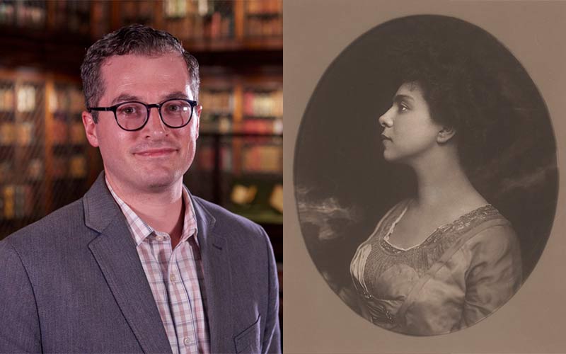
Ian Fowler serves as the Curator and Geospatial Librarian for the Lionel Pincus and Princess Firyal map Division at the New York Public Library. In that role he is responsible for the care and development of the cartographic collections as well as using new geospatial technologies and applications for education and the use of NYPL map collections in geographic information systems. Before joining the New York Public Library Ian was the director of the Osher Map Library and Smith Center for Cartographic Education at the University of Southern Maine and has previously worked at the Geography and Map Division at the Library of Congress. Ian has a B.A. in Education with a minor in Geography from The Ohio State University and an MSLIS from Dominican University outside of Chicago.


